Land Use and Climate Change Impact Assessment Project
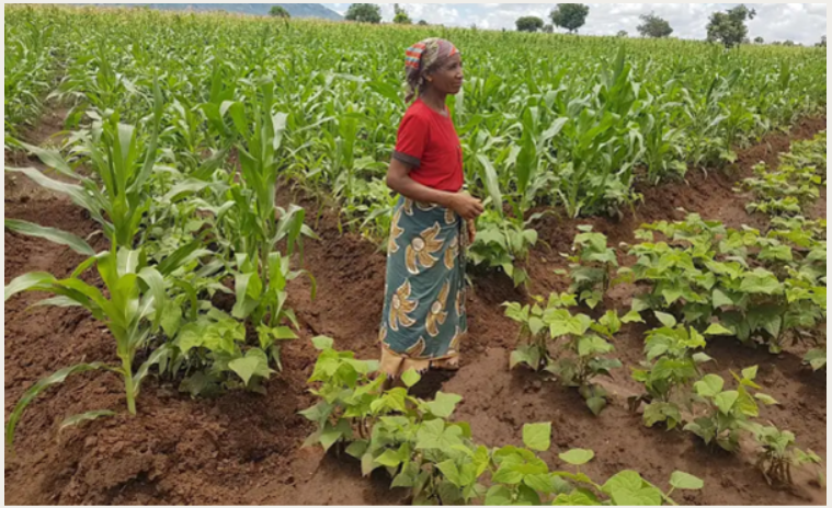
The Land Use and Climate Change Impact Assessment (LUCCIA) project aims to support decision-making for land use planning in Mozambique through the development of a spatially explicit Land Use Change simulation platform. This platform was designed to simulate and assess impacts of land use policies and investments in the agriculture and forestry sectors. It calculates various socio-economics and environnmentals indicators , on a annual basis from 2020 up to 2050, and at landscape unit of 1 km² or aggregated figures and maps at jurisdictional scale (national, province, district).
This website provides the full software (version 1.1) and its user guide but also presents the main spatial input datasets used through geoportals, the list of the main parameters, and some outputs explorations for the baseline scenario. Enjoy the visit!
The LUCCIA project was implemented through a technical assistance of Nitidae and CIRAD to FNDS (Ministry of Agriculture) funded by the 2050 Facility fund of the Agence Française de Développement (AFD).
Land Use / Land Cover Change
Compilation of several datasets on Land Use / Land Cover and its changes (mainly deforestation) that have been produced in Mozambique by the FNDS (Ministry of Agriculture) or Nitidæ.

Land Tenure
All categories of land-use rights activities in Mozambique (Direito de Uso e Aproveitamento da Terra), along with various types of protected areas and community delimitations sourced from national public institutions.

Crop & Tree Suitability
Presents all suitability maps both for crop and tree species produced for input of the LUCCIA model. productivity when combined with other input data. All information is sourced from Nitidæ’s expertise.

Crop Yields
This dataset was produced from yield maps generated using SARRAO-model for Mozambique to predict crop productivity. The model primarily uses data on cropping practices, climate, and soil conditions.
Attractivity
Within the rural and urban population dynamics modelled within LUCCIA, attractivity maps are used to allocate spatially the houselholds. The general attractivity map is used for the settlement of rural households.
Baseline Main Results
Selection of several main indicators for the baseline of the LUCCIA model, including secondary indicators such as proxies of food security, agricultural production or rural economy.

LUCCIA Simulation Parameters
The LUCCIA software operates based on more than 200 parameters that control the behavior of land use simulations. To make the process more intuitive, these parameters are grouped into categories depending on their level of complexity and intended user. Some parameters are reserved for advanced users who possess a deep understanding of spatial modeling and the LUCCIA model.
This section presents the general parameters that are visible and configurable through the user interface (UI) or editable in the settings file (CSV).
On this page, you can explore some of the LUCCIA model outputs for the baseline scenario for selected themes (crops and fallow areas, household distribution, etc). You can also check the geoportal on the baseline main results which is complementary. Constant improvements through additional datasets such as different scenarios or new features and graphs will be added later on. For full access of the LUCCIA outputs, please download the software and run the baseline or other presetted scenarios. You can find the download link in the following Resources tab of this website.
Select a scenario:
Percentages in terms of area of the differents crops and fallow
Distribution in percentages of the different household types
LUCCIA Software Resources
Access the main LUCCIA software resources below with the different download links of the full simulation tool, user manual or other relevant documentation.
- LUCCIA Software v1.1 (Nov 2025) Simulation tool, main datasets, and default scenarios
- Crop Yields Maps for IPPC Scenario SSP1-2.6 (Aug 2025) LUCCIA Software v1.1 complementary dataset used to compute rural household yields
- Crop Yields Maps for IPPC Scenario SSP5-8.5 (Aug 2025) LUCCIA Software v1.1 complementary dataset used to compute rural household yields
- User Guide v0.4 for LUCCIA v1.0 (Dec 2023) Describes the software user interface and how to use it
- CeCILL Free Software License Agreement for LUCCIA Software v1.1 (Nov 2025) Defines the use modalities of the software
- LUCCIA Project Reports & Case Studies (Jan 2024) Assessment of modelled scenarios based on institutional planning documents